

History of Navigation and its Tools
When it comes to pre-modern methods of navigation, one could sort them into a pair of broad categories: terrestrial and celestial. Terrestrial methods, those involving the ground and things on it, are the older and simpler of the two, whereas celestial methods, those involving the sky and things in it, are the more complex and accurate. While pre-modern travel took place over both land and sea, the history of navigational tools tends to skew toward naval voyages. Many of the devices highlighted in this article also have land-based applications, but so that this summary is not stretched too thin, understand that we will be focusing on sea-based travel.
History of Terrestrial Navigation
Before there was radar or the Global Positioning System (GPS) planning, a journey required visual cues and mental math. Terrestrial navigation relies heavily on the former. Without using objects in the sky as references, pre-modern mariners had three main options when traveling to guide their way, and these were landmarks, dead reckoning, and the compass.
Landmarks in Navigation
Using landmarks to find one’s way is something that nearly everyone has done. Whether it is a visual indicator from one’s own memory or knowledge passed along from someone else, landmarks serve as signposts in the navigator’s travels. This can work well over land, and across small bodies of water, but is generally not helpful out on the high seas.
For those cultures that did not use celestial navigation tools to cross the ocean, there was dead reckoning. Before modern positioning technology, dead reckoning referred solely to the practice of judging where one was going by where one had been. In essence, travel by educated guess. When sailing, unless the water is perfectly calm and there is no breeze, a ship is expected to deviate from its course over time due to these outside factors. Lacking any sort of outside references, dead reckoning was often a gamble, though with a knowledge of where one was headed it was certainly better than nothing.
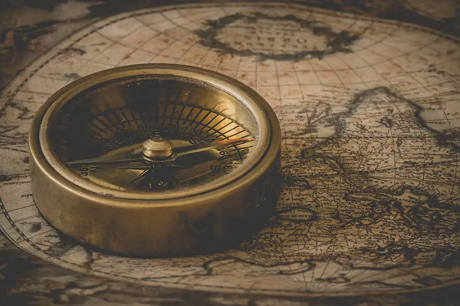
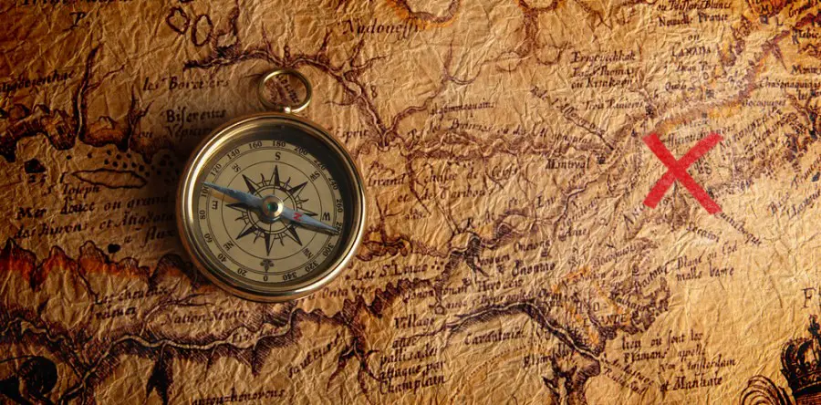
History of the Compass in Navigation
In terms of purely terrestrial navigation tools, the compass is probably the most handy. The first compasses designed in China between 200 BCE and 200 CE. These early prototypes used naturally magnetized ore known as a lodestone to point north. Initially, this discovery was mostly limited to geomancy, an umbrella term for various types of divination that rely on the ground and the arrangement of things upon it to predict future outcomes (feng shui is one example). Once it was discovered that the magnetic properties of a loadstone could be transferred to an iron needle by rubbing them against the magnetized ore, smaller and more easily portable compasses were made. By the 11th century these travel ready compasses had been adopted by merchant vessels and military commanders alike. They would either use a vessel filled with water as their base and attach a magnetized needle to a floating platform or suspend the needle by a silk thread to indicate magnetic north, which is distinct from true north. True north refers to the direction leading to the North Pole, whereas magnetic north points toward a shifting region close to the North Pole. The Earth’s outer core is molten, and due to the fluidity of this magnetized metal the Geomagnetic North Pole moves around slightly.
Maps in Terrestrial Navigation
One might argue that maps could also fit into this category. There is some merit to the inclusion of certain types of maps as a means of terrestrial navigation, though with respect to naval voyages there is little use in a map without being able to reference celestial objects. Similar to the shortcomings of dead reckoning as a method of ship navigation, unless one knows where they are on a map it cannot help guide the user. Sea maps tend to orient travelers based on latitude and longitude, which are only knowable through celestial navigation tools or modern technology.

History of Celestial Navigation
Cultures across the globe have used objects in the sky to help guide them for centuries. In this way, the sky is a common resource available to all.
Premier among celestial objects, the Sun can serve as a rough indicator of direction, as it rises in the east and sets in the west. Planets, well-known stars like Polaris, and constellations can also serve as celestial landmarks. However, with tools one can glean more information about their current position by observing the location of celestial objects relative to the horizon. This is where many of the pre-modern navigation tools come in.
Cross Staff in Celestial Navigation
The cross staff was designed by Rabbi Levi ben Gershon, Gersonides in some accounts. Similar inventions existed for centuries, but the cross staff was the first model small enough for use by a ship’s captain. A cross staff is basically a ruler with an adjustable cross piece that can slide up and down its length. This cross piece has viewing holes on either side and, depending on usage, is either aligned with a pair of stars by astronomers or the Sun at noon in the case of a navigator. This gives the viewer two sides of any triangle, as the cross staff is a measuring instrument. With some basic trigonometry, one can solve for the missing length of their triangle. In sailing, knowing the Sun’s elevation above the horizon can help one determine their latitude when combined with data tables in a nautical almanac.
The Sun and Astrolabes in Navigation History
Yet the Sun is not the only celestial body navigators used to calculate the meridian altitude. Any astronomical object whose position relative to the Earth was known could be used in this manner. Astrolabes are one such instrument that allow for this type of flexibility. A series of stacked discs, an astrolabe’s base represents the horizon, while those above it represent well-known stars or planets. By using the device’s straight rule, one can calculate any included celestial object’s elevation above the horizon. Astrolabes came in a variety of materials from wood for common people to brass for scholars. The mariner’s astrolabe, a sturdier, steadier model was created for the rougher conditions of rocking boat out at sea.
Sextant in Navigation History
Another tried and true navigational device is the sextant. This too is another tool used to measure the angular distance of celestial objects. Unlike the more versatile astrolabe, the sextant’s purpose is singular and easier to operate. To use a sextant for navigation, one aligns it with the horizon then looks through its eye piece and slides the moveable arm, which contains a mirror, along a scale measuring one hundred and twenty degrees until the light of the celestial object in question is reflected through the tool’s second mirror and into first, which in turn illuminates the eyepiece. Wherever the sextant’s arm is positioned is the viewed object’s angle from the horizon.
Star Compass in the History of Navigation
So far we have covered tools created and improved upon in Europe, China, and the Middle East, but innovations also happened elsewhere. One such tool is the Micronesian “star compass”. The name is actually misleading though, an invention of Western academics. “Star compasses” do exist as objects that can be held in one’s hand, but are merely material representations of what many traditional Micronesian navigators posses in their heads. It is a different way of looking at a part of the world, a rather large part if one lives in a chain of small islands where travel between them is a common necessity. This mental tool has thirty-two directions where a standard compass might only have the cardinal four. In addition to an acute appreciation of the positions of specific stars, Micronesians trained in traditional navigation also find directional indicators in the swell patterns of surf and the flight paths of seabirds.
It should be noted that this is not some superhuman ability, but a difference of focus. Most if not all people could likely accomplish a traditional Micronesian voyage if trained from a young enough age. Navigators elsewhere took a different path, instead focusing on the development of mechanisms outside of themselves. Both paths produce tools. What makes them distinct is the location of these tools: exterior or interior.
However, not all navigational challenges can be overcome with the mind alone.
Modern Tools and Man-Made Stars
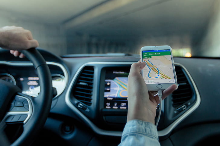
Two of the best known modern navigational tools are radar and GPS, both of which rely on radio waves. A good analogy for explaining the basics of radio navigation is echolocation. Transmitters send out electromagnetic radiation, and when these radio waves come into contact with a specialized reflector they are returned to the sender, whether that is a ship’s radar system or a satellite. When radio waves are bounced back like this it gives navigators information on where and when the signal was reflected, key variables to geolocation. In civilian seafaring radar is often used when visibility is impaired by rough weather so as to avoid colliding with other vessels and unseen objects. And when it comes to GPS, satellites are arrayed in what are called constellations to provide ample coverage to the entire globe, so that anyone under the open sky has access to them. While stars can be quite helpful to travelers in need of direction, man-made constellations have proven themselves far more user-friendly.
Works Cited
“Compass”. RESOURCE LIBRARY | ENCYCLOPEDIC ENTRY, National Geographic, http://www.nationalgeographic.org/encyclopedia/compass/, Accessed April 16 2020
Frake, Charles O. “A REINTERPRETATION OF THE MICRONESIAN ‘STAR COMPASS’ “. The Journal of Polynesian Society, Vol. 104, No. 2, The Polynesian Society, June 1995, pp. 147-158.
“How a Sextant Works”. coastalboating.net, resources.coastalboating.net/Navigation/Celestial/howitworks.html, Accessed April 16 2020
Jones, S.S.D. Tom S. Logsdon. “Radar”. Encyclopedia Britannica, Britannica, http://www.britannica.com/technology/navigation-technology/Radar, Accessed April 18 2020
“Navigation”. RESOURCE LIBRARY | ENCYCLOPEDIC ENTRY, National Geographic, http://www.nationalgeographic.org/encyclopedia/navigation/, Accessed April 16 2020
Poppick, Laura. “The Story of the Astrolabe, the Original Smartphone”. Smithsonianmag.com, Smithsonian Magazine, Jan 31 2017, http://www.smithsonianmag.com/innovation/astrolabe-original-smartphone-180961981/, Accessed April 16 2020
Silverman, Susan. “Smith College Museum of Ancient Inventions: Compass”. smith.edu, http://www.smith.edu/hsc/museum/ancient_inventions/compass2.html, Accessed April 16 2020
Stern, David P. “The Cross Staff”. nasa.gov, NASA, March 31 2014, www-spof.gsfc.nasa.gov/stargaze/Scrostaf.htm, Accessed April 16 2020
© Copyright 2020 Moosmosis – All rights reserved
All rights reserved. This essay or any portion thereof
may not be reproduced or used in any manner whatsoever
without the express written permission of the publisher.

Please Like our Facebook page to support! 🙂
Share this:

Categories: Biology


Fascinating article on navigation tools!
LikeLiked by 1 person
Fascinating article on navigation tools!
LikeLiked by 1 person
Stellar essay ⭐️⭐️⭐️⭐️⭐️
LikeLiked by 1 person
So interesting – the star compass sounds very cool!
LikeLiked by 1 person
Excellent article on navigation and tools! Now I want to go buy a compass
LikeLike